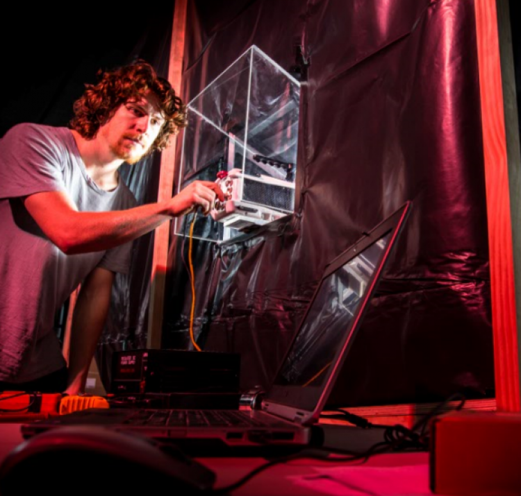
Student researcher

Dr Bryan Hally Research Leader

This project developed new ways to provide quantitative analysis of the effectiveness of prescribed burning using terrestrial and airborne LiDAR techniques. Using a series of case studies of varying forest types, Bryan compared his measurements to existing vegetation assessment techniques to provide objective analysis of burn effectiveness. He then developed a model for the simulation of active fire landscapes which will validate a range of satellite remote sensors.

This project was completed in August 2018.

Year Type Citation
2019 Conference Paper Reinke, K., Wallace, L., Hillman, S., Hally, B. & Jones, S. Fuels3D: barking up the wrong tree and beyond. AFAC19 powered by INTERSCHUTZ - Bushfire and Natural Hazards CRC Research Forum (Australian Institute for Disaster Resilience, 2019). at <https://knowledge.aidr.org.au/resources/australian-journal-of-emergency-management-monograph-series/>
2019 Conference Paper Engel, C., Matthews, S., Jones, S. & Reinke, K. Detecting active fires from space using Himawari-8: a report from the regional New South Wales trial . AFAC19 powered by INTERSCHUTZ - Bushfire and Natural Hazards CRC Research Forum (Australian Institute for Disaster Resilience, 2019). at <https://knowledge.aidr.org.au/resources/australian-journal-of-emergency-management-monograph-series/>
2019 Thesis Hally, B. Methods for background temperature estimation in the context of active fire detection. Department of Natural Resources Philosophy, (2019).
2018 Journal Article Hally, B., Wallace, L., Reinke, K., Jones, S. & Skidmore, A. Advances in active fire detection using a multi-temporal method for next-generation geostationary satellite data. International Journal of Digital Earth (2018). doi:https://doi.org/10.1080/17538947.2018.1497099
2018 Journal Article Hally, B. et al. Estimating fire background temperature at a geostationary scale - an evaluation of contextual methods for AHI-8. Remote Sensing 10, (2018).
2017 Conference Paper Rumsewicz, M. Research proceedings from the 2017 Bushfire and Natural Hazards CRC and AFAC Conference. Bushfire and Natural Hazards CRC & AFAC annual conference 2017 (Bushfire and Natural Hazards CRC, 2017).
2017 Journal Article Hally, B., Wallace, L., Reinke, K. & Jones, S. A Broad-Area Method for the Diurnal Characterisation of Upwelling Medium Wave Infrared Radiation. Remote Sensing 9, (2017).
Disaster landscape Attribution: Attributing Active Fire Using Simulated Fire Landscapes
18 Aug 2015
Active fires are inscreasingly being identified using satellite remote sensing to determine their size and...
Bryan Hally Conference Poster 2016
14 Aug 2016
Current methods of fire detection using remote sensing rely on contextual algorithms to characterise fire.
The diurnal cycle and its role in fire detection using Himawari-8
29 Jun 2017
Accurately estimating background temperatures is vital for identifying fire using remote sensing. New...
The problem of context – understanding the estimation of fire background temperature in South-Eastern Australia
19 Sep 2018
Satellite remote sensing provides a timely and efficient method of detecting fire, but choosing the right...