Research leader
Research team
End User representatives
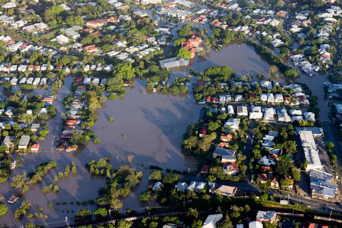
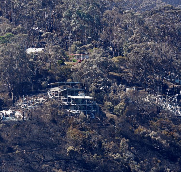
Urban planning systems have considerable potential to modify the impacts of natural hazards upon the built environment, humans and associated systems. With the increased frequency of natural hazards due to climate change and increased exposure to hazards due to population growth pressures, especially in the urban-rural interface, there are also increased consequences for human settlements and likely exacerbation of the challenges associated with natural hazard impact.
In this context, this project sought to understand the limits and potentials of integrated urban planning for natural hazard mitigation in Australia, and the ways in which key planning processes for risk-based decision-making in the built environment can be improved. By doing so, it identified many gaps in the ways we currently seek to integrate urban planning and natural hazard risk management.
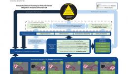
Learnings were captured in a set of scalable and adaptable diagnostic tools that are part of critical frameworks for best practice in integrating urban planning and natural hazard mitigation in Australia. These diagnostic tools allow assessment of integration and risk management across urban planning and emergency management systems and processes. This set of tools is the final product for this research project and the utilisation output delivered to end-users. This output represents a comprehensive understanding of the potentials and limits of urban planning systems when it comes to disaster risk reduction. It allows for a range of new ways forward to fully utilise and integrate urban planning with natural hazard mitigation actions and outcomes.
In the video below, project leader Prof Alan March discusses how urban populations can protect themselves from natural hazards.

