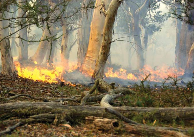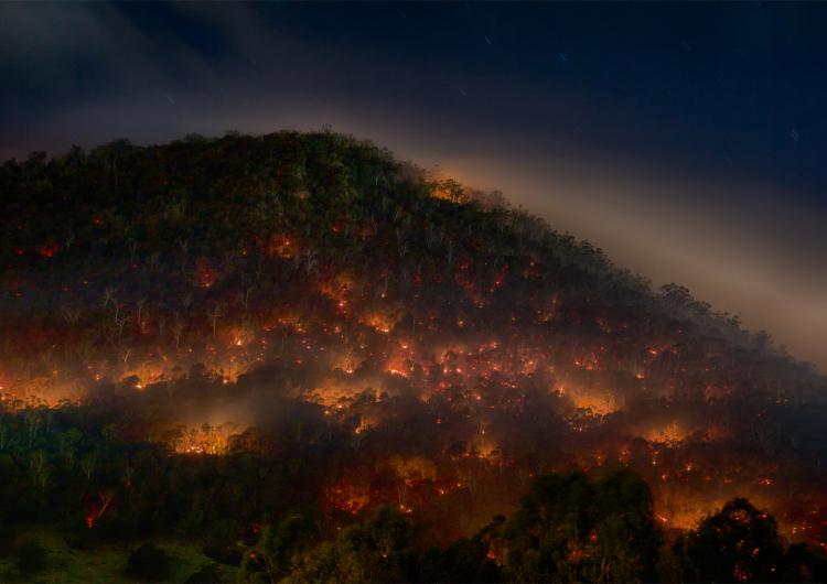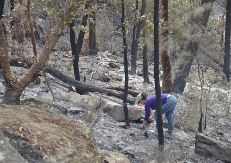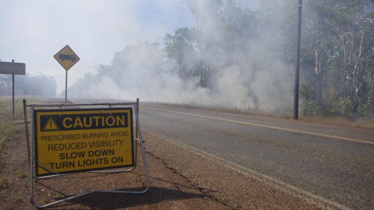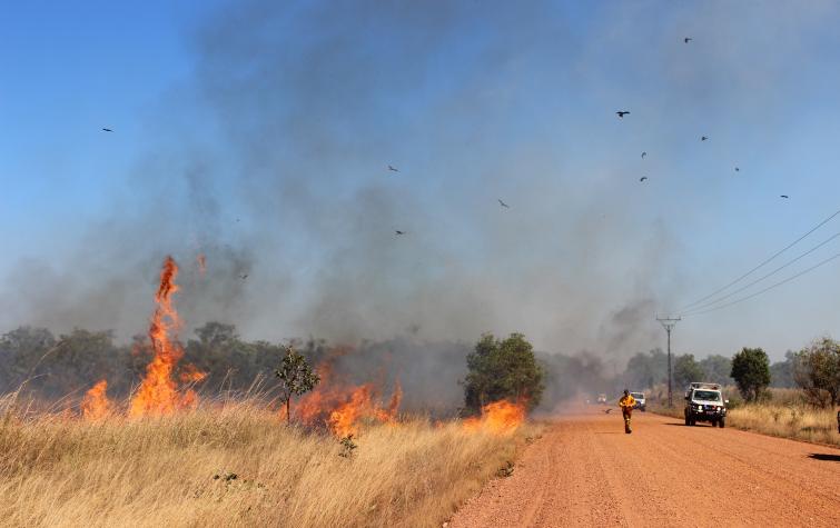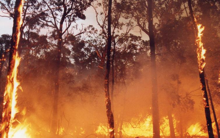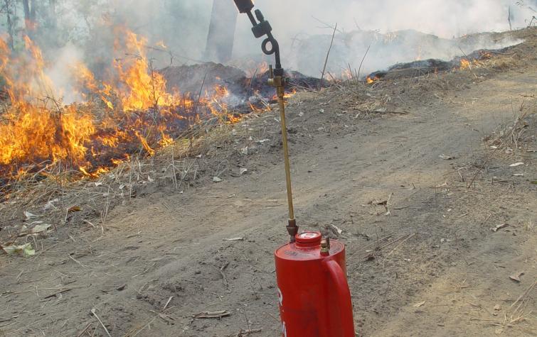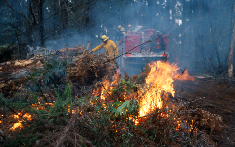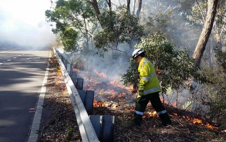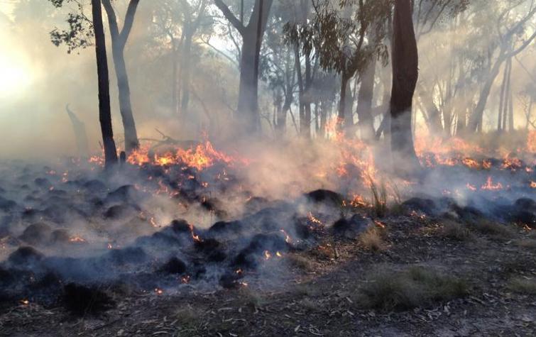
Landscape management uses prescribed burning and a range of other measures to mitigate the fire risk across different regions, not just in Australia but increasingly in fire-prone countries around the world. The Bushfire and Natural Hazards CRC’s research has built a firm quantitative basis for understanding and comparing the effectiveness of these measures.
Research shows that there is no one-size-fits-all solution to prescribed burning. This finding has major implications for fire managers who need to embrace tailored prescribed burning solutions, based on the unique risk mitigation profiles for their regions, including local fire regimes, climate zones, human settlements and land-use patterns.
Prescribed burning remains a critical component of contemporary fire management in Australia and elsewhere. Based on the research in this Managing the Landscape theme, we now have a quantitative basis for understanding and comparing the effectiveness of prescribed burning for mitigating risk across different landscapes.
Key project outputs have included tools now used by fire managers in the forest and grasslands of southern Australia as well as the tropical savanna landscapes across northern Australia.
Online tools
These online tools were developed with CRC research and are designed to be ready for use. The tools here have been curated for this Driving Change theme. See more tools in the other themes.
PRESCRIBED BURNING ATLAS
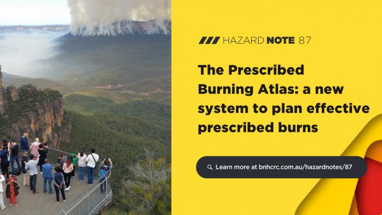
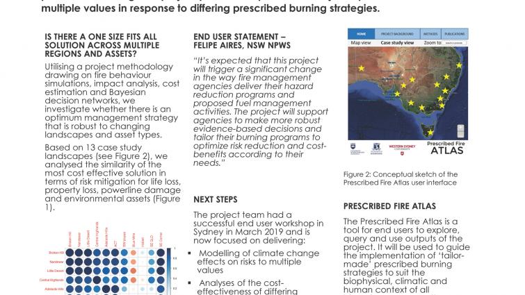
The Prescribed Burning Atlas is a website designed specifically to assist and inform prescribed burning strategies so that land and fire managers can tailor their burning strategies to outcomes that will best reduce the risk in a target area within available budgets.
Developed through the Bushfire and Natural Hazards CRC in partnership with the University of Wollongong, University of Melbourne and Western Sydney University, the Prescribed Burning Atlas incorporates thousands of fire simulations to compare the level of risk reduction achieved from different combinations of prescribed burning techniques. The Atlas also compares the costs of different mitigation options and their effect on reducing the likelihood of life loss, property loss and landscape damage, as well as the effects of climate change on prescribed burning effectiveness.
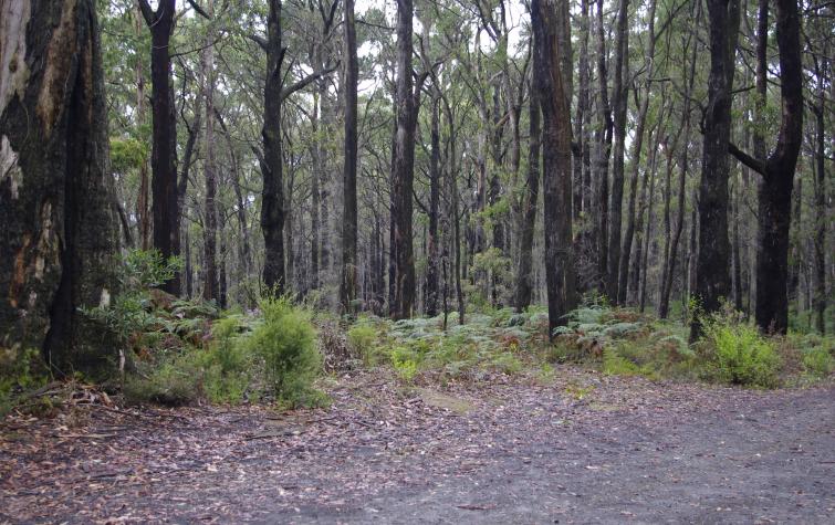
It covers 13 different landscape types across New South Wales, ACT, Victoria, Tasmania, South Australia and Queensland, comprising different types of landscapes such as temperate forests, grasslands, savannas, deserts, woodlands and scrub.
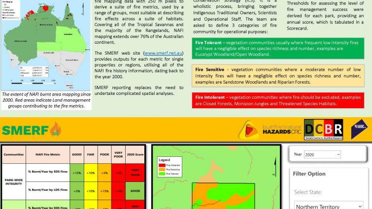
SAVANNA MONITORING AND EVALUATION REPORTING FRAMEWORK
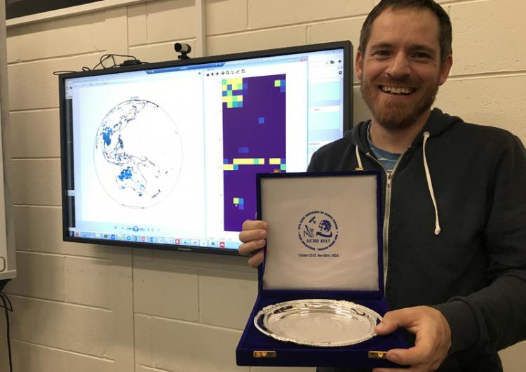
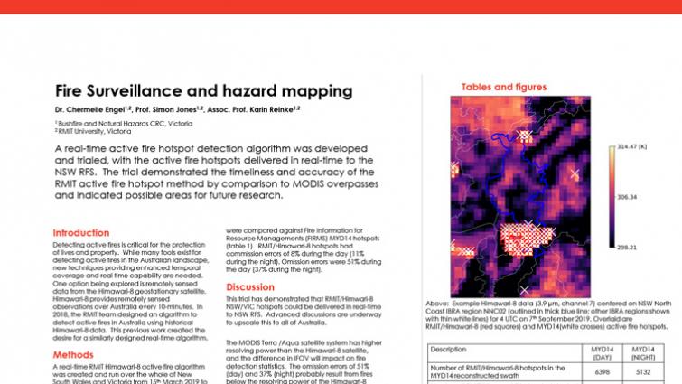
This online tool evaluates the effects of fire where burnt area mapping is available across the Northern Territory, large parts of Western Australia, and Northern Queensland. It assesses nearly twenty years of data to show where bushfires have burnt, at what time of year (early or late dry season) and when an area was last burnt.
Case studies
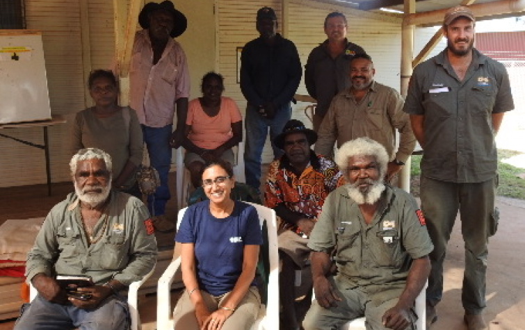
CRC research is driving change across communities, government and emergency service agencies, as highlighted by the case studies relevant to each Driving Change theme.
Highlights
This collection is a curation of the best and most recent news articles, Hazard Notes, videos, posters, guides, journal articles and reports relevant to this theme.
News
Resources
Publications
Projects
This selection of user-driven projects allows you to explore the detail of the research. These projects, spanning the eight years of the CRC, are especially relevant to this theme, but may appear within other themes as well.


