Research leader
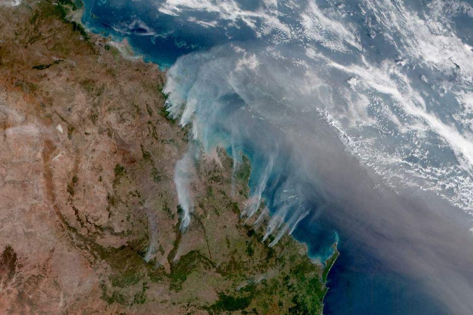
The availability of persistent and synoptic observations of fire activity across the Australian landscape has been made possible through the availability of the geostationary satellite, Himawari-8 (2015 – current). The provision of such information provides a unique opportunity to investigate the change in fire activity, as observed from space, in response to fire suppression activities. The ability to document fire response to suppression can help inform best practice and efficacy in fire suppression activities. The advancement of persistent and synoptic fire tracking in near real time, coupled with improvements in communications, could provide an avenue whereby information on immediate fire response is relayed directly to aerial appliances.
This project will conduct a retrospective and empirical account of bushfire activity in response to coincident aerial suppression activities over south-eastern Australia for the summer of 2019-20. Fire presence in the landscape is measured every 10 minutes allowing for a near continuous spatial and temporal signal of fire activity to be observed. Waterbombing drop zones can be identified within this data and a nominal cause and effect may be estimated. The impact will be reported in several ways including the time between the suppression response and change in fire activity. The magnitude of the location and extent of fire activity, and estimates of intensity will also be reported. Further, patterns and responses may be investigated against specific grouping of variables of interest such as aerial suppression type, forest type etc. The analysis will be conducted at two spatial scales: a large area comparison to consider the broader landscape of fire activity and maximise the number of fires investigated, and a more intensive look at individual case study fires.


