Mercy Ndalila

PhD student
About
Mercy Ndalila

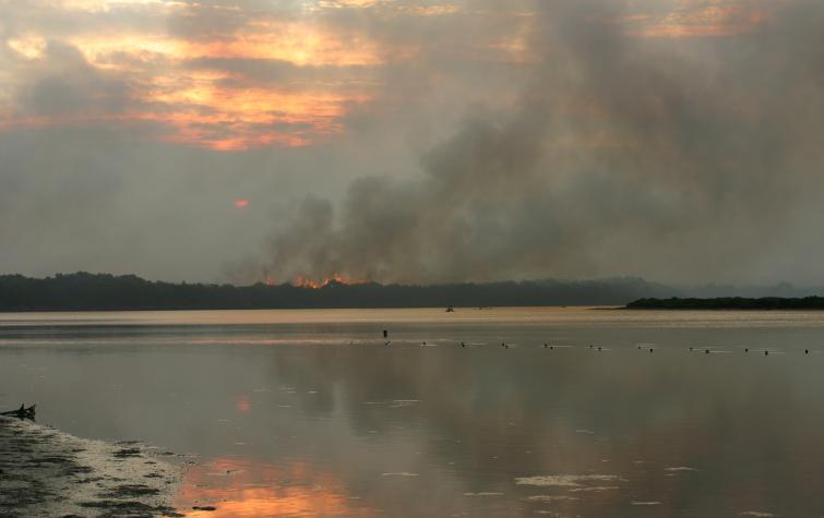
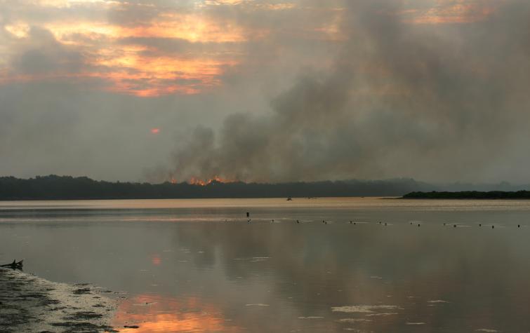
Mercy Ndalila’s research involves a geospatial analysis of the 2013 Forcett-Dunalley fire that burnt approximately 26,000 hectares in south east Tasmania. By examining geographic patterns of fire severity in different forest types using remote sensing techniques and analysing landscape factors governing this severity, Mercy will be able to provide fire managers with new information about extreme fire behaviour. 

Mercy has 13 years’ combined experience in biodiversity conservation and research and is also a volunteer firefighter with the Lenah Valley Fire Brigade, with an aim of gaining practical skills in fire management and to bring to life the theoretical principles of fire science.

Student project

This research involves a geospatial analysis of the January 2013 Forcett-Dunalley fire that burnt approximately 26,000 hectares of forest-dominated landscapes in SE Tasmania. It will examine geographic patterns of fire severity in different forest types using remote sensing techniques and analyse landscape factors governing this severity.
Supervisory panel:
21 Dec 2020
Key findings: Global models can produce reliable smoke emission estimates from eucalyptus forest...
AFAC19 poster
27 Aug 2019
January 2013 fire season was among the most significant seasons in Tasmanian history.
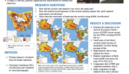
Geographic patterns of fire severity following an extreme eucalyptus forest fire in Southern Australia
19 Sep 2018
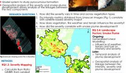
How did fire severity and intensity vary across the landscape? How did satellite-based measures of...
Remote sensing of fire severity in the 2013 Dunalley fire, Tasmania
29 Jun 2017
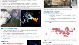
Extreme fire which burnt ca. 25,000 haHigh smoke plume injection, carrying emissions to upper...
Smoke Plume Injection into the Atmosphere and Subsequent Pyrocumulus 'Blow-Up'
18 Aug 2015
Fire influences climates through emission of gas and particles into the atmosphere.Advances in...

Send a message to Mercy Ndalila (via CRC)

User Contact