PUBLICATIONS
Published works

Utilisation of fire spread simulators to assess power network fire risk
| Title | Utilisation of fire spread simulators to assess power network fire risk |
| Publication Type | Conference Paper |
| Year of Publication | 2019 |
| Authors | Parker, J, Allen, A |
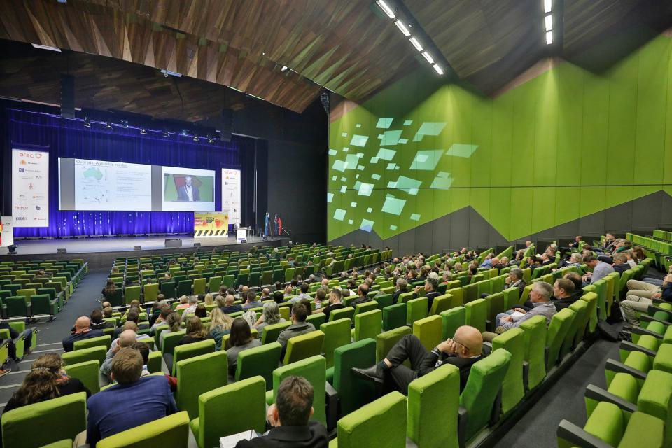
| Conference Name | AFAC19 powered by INTERSCHUTZ - Bushfire and Natural Hazards CRC Research Forum |
| Date Published | 12/2019 |
| Publisher | Australian Institute for Disaster Resilience |
| Conference Location | Melbourne |
| Keywords | Fire risk, prediction system, risk management, simulator, weather conditions |
| Abstract | Western Power is a Western Australian State Government owned power network and energy corporation. In 2013, an external review commissioned by Western Power, recommended the development of an improved bushfire risk map for the network based on the consequences of potential network bushfire ignitions. In response to the review Western Power entered into a joint collaboration with the Department of Fire and Emergency Services (DFES) and Landgate to develop a multiple ignition point based bushfire risk analysis product suitable for use on the power network across the south west of Western Australia. The objective of this project is to assist Western Power in prioritising their asset renewal and maintenance budget to ensure they’ve addressed sites with the highest potential consequences, realising better public safety out-comes. The utilisation of the fire spread simulator system Aurora, to model the consequences of a bushfire ignition from power poles and wires has been investigated to provide this intelligence. Western Power maintains approximately 800,000 power poles within the south west of Western Australia. The development of an appropriate methodology to provide the required intelligence for the prioritisation of appropriate asset renewal and maintenance implementation programs in response to the risk of bushfire ignition, has proven to be challenging. Aurora is a web-based bushfire spread prediction system that simulates the probable direction, intensity and rate of bushfire spread. The simulator considers ignition location, vegetation, time of last burn, fuel accumulation models, forecasted weather, drought factor, grassland curing and slope to calculate fire behaviour and spread. For this project, the simulator architecture uses 99.5th percentile Forest Fire Danger Index (FFDI) weather conditions for each of the 8 cardinal wind directions to produce 6 million fire spread The successful completion of this project will result in a welldeveloped methodology, Information Communication and Technology (ICT) system infrastructure and potential consequence datasets with the potential to utilise multiple activities and assets as potential ignition sources, therefore providing DFES with enhanced evidence-based datasets to support strategic decision making for early community warning and preparedness. Download the full non-peer reviewed research proceedings from the Bushfire and Natural Hazards CRC Research Forum here. |
| URL | https://knowledge.aidr.org.au/resources/australian-journal-of-emergency-management-monograph-series/ |
| Refereed Designation | Non-Refereed |
Published Works


