PUBLICATIONS
Published works

Case study: use of remote sensing data to derive spatial and temporal explicit fuel accumulation curves across defence lands
| Title | Case study: use of remote sensing data to derive spatial and temporal explicit fuel accumulation curves across defence lands |
| Publication Type | Report |
| Year of Publication | 2020 |
| Authors | Massetti, A, Yebra, M, Hilton, J, Rüdiger, C |
| Document Number | 579 |
| Date Published | 06/2020 |
| Institution | Bushfire and Natural Hazards CRC |
| City | Melbourne |
| Report Number | 579 |
| Keywords | data analysis, defence lands, fuel accumulation, remote sensing |
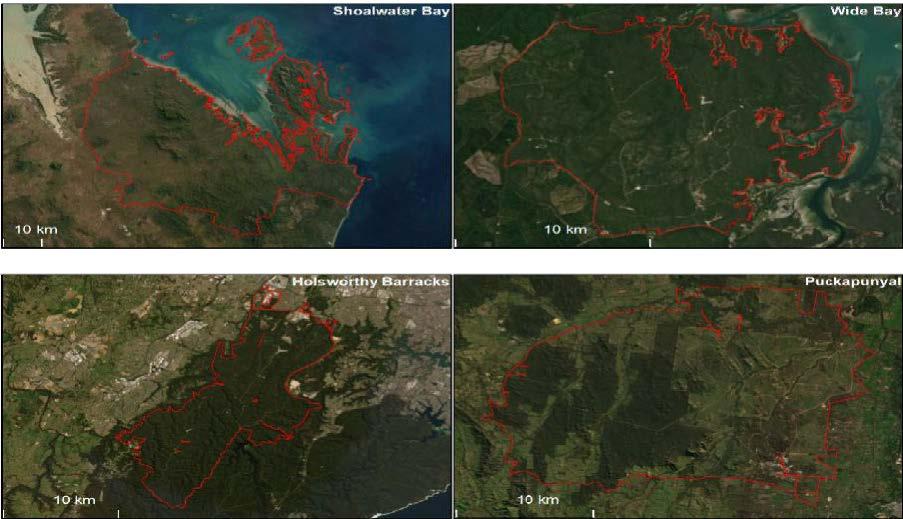
| Abstract | Fuel loads are a main driver of fire rate of spread. Therefore, a spatially explicit estimation of fuel loads, coupled with their variation through time may improve wildland fuel management and contribute to the design of more efficient active fire response strategies. However, the high frequency of planned and unplanned fires in large wild areas linked to varying fire severity levels that affect the rate at which fuels re-accumulate, make the continuous monitoring of wildland fuels challenging with field-based survey methods. Here we propose the use of satellite remote sensing to map fuel loads with a revisit time of 16 days. Fuel load maps are produced for five Defence Lands using Landsat and Sentinel-2 optical remote sensing data available at Digital Earth Australia and the National Computation Infrastructure. The fuel load maps are obtained by calculating the time series of the Vegetation Structure Perpendicular Index, an index that measures post-fire disturbance, and fitting these to fuel accumulation curves derived from literature. |
| Refereed Designation | Non-Refereed |
Published Works


