PUBLICATIONS
Published works

Spotfire utilisation project: implementation of the VLS filter
| Title | Spotfire utilisation project: implementation of the VLS filter |
| Publication Type | Report |
| Year of Publication | 2022 |
| Authors | Badlan, R, Sharples, JJ |
| Document Number | 730 |
| Date Published | 05/2022 |
| Institution | Bushfire and Natural Hazards CRC |
| City | Melbourne |
| Report Number | 730 |
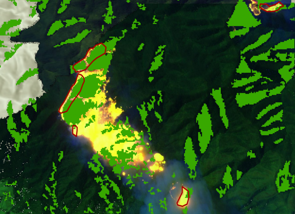
| Abstract | The aim of this research was to produce an operational tool to assist fire agency personnel in assessing the potential for extreme bushfire development. Specifically, this work’s intention was to aid in the identification of regions of the landscape that are prone to mass spotting and other dynamic fire behaviour associated with vorticity-driven lateral spread (VLS). The research was divided into three phases: 1) calibration of the slope scale to each DEM, 2) creation of the filter (first and second order) and finally refinement of the filter and, 3) develop training material and ensure filters and related documents are distributed to relevant personnel. The first-order and second-order wind-terrain filter enables the user to identify parts of the terrain which are susceptible to VLS through its established association with steep or broken leeward facing terrain elements. This is achieved using terrain attributes such as topographic slope, aspect, and profile curvature, as well as environmental variables such as the wind speed and direction. This builds upon the research initially undertaken as part of the original Bushfire Cooperative Research Centre. This report summarises the three phases of the project, during which time the researchers have gained familiarity and VLS mapping capability with the GIS software “ArcGIS Pro”, which is used to create and validate the wind-terrain filters. This facilitated the two main research objectives – to develop and then refine the first order and second order wind-terrain filters so that they may be applied using DEMs of any resolution. Initially, this involved manual tuning of the first-order wind-terrain filter’s parameters to fit a number of calibration events. This tuning was also confirmed through analyses of slope distributions over various landscape domains. These static cases were then validated with real case conditions and the filter compared to areas where VLS was known to have occurred. Scaling thresholds for the 30, 90 and 250 metre resolution DEMs were also evaluated explicitly, and a general linear model has been determined to allow estimation of parameter thresholds for more general DEM resolutions. The second-order filter was then designed and tested in a similar manner to the first-order filter. The two filters were then merged into a combined operational product, which was also validated using known cases of VLS. Both filters are presented here - separately and as a combined product - for the operational consideration of end-users. End-user feedback was then evaluated to further tailor the operational product to specific operational needs, platforms, and formats. Due to travel restrictions static filters have been produced for immediate use. Development of a dynamic mapping tool is also continuing in which other factors such as the forecast wind speed and direction (and potentially other variables) can be incorporated automatically to provide heightened operational intelligence on extreme bushfire development. |
Published Works


