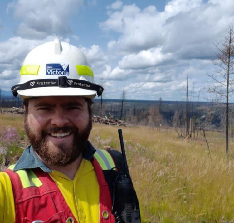
Student researcher
Quantifying and characterising vegetation as fuel is essential for informing a wide range of fire management activities such as assessing bushfire risk, planning fuel treatments, and managing smoke emissions.
Classifying and quantifying fuel is complex and includes assessing a range of characteristics. Sam’s research investigates the utility of point clouds for fuel hazard estimation. The project will explore the use of image based point clouds generated from consumer-grade cameras and terrestrial laser scanners for describing cover, height and structure characteristics of below canopy vegetation. Terrestrial and airborne platforms will also be compared to identify the advantages and disadvantages of each technique in different landscapes.
| Year | Type | Citation |
|---|---|---|
| 2021 | Journal Article | A comparison between TLS and UAS LiDAR to represent eucalypt crown fuel characteristics. ISPRS Journal of Photogrammetry and Remote Sensing 181, 295-307 (2021). |
| 2021 | Journal Article | High-Resolution Estimates of Fire Severity - An Evaluation of UAS Image and LiDAR Mapping Approaches on a Sedgeland Forest Boundary in Tasmania, Australia . Fire 4, (2021). |
| 2020 | Journal Article | A comparison of terrestrial and UAS sensors for measuring fuel hazard in a dry sclerophyll forest. International Journal of Applied Earth Observation and Geoinformation 95, (2020). |
| 2019 | Conference Paper | Fuels3D: barking up the wrong tree and beyond. AFAC19 powered by INTERSCHUTZ - Bushfire and Natural Hazards CRC Research Forum (Australian Institute for Disaster Resilience, 2019). at <https://knowledge.aidr.org.au/resources/australian-journal-of-emergency-management-monograph-series/> |


