About
A/Prof Valentijn Pauwels
Blog posts on Views & Visions
| Post | Date | Key Topics |
|---|---|---|
| Inspiring research in another continent | 18 Dec 2018 | flood, modelling, risk management |
Project leadership
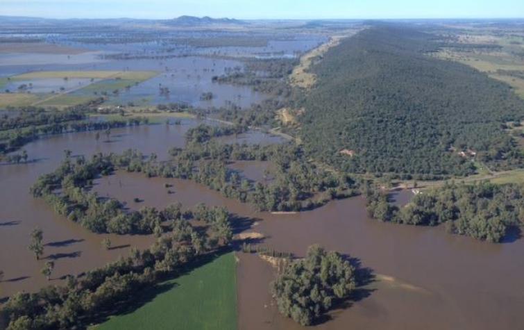
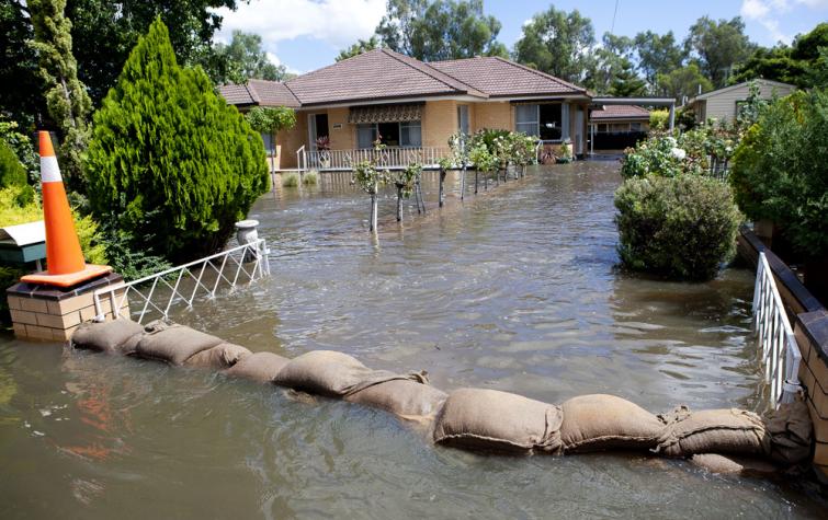
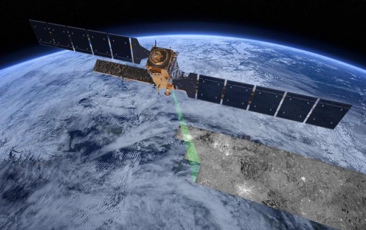
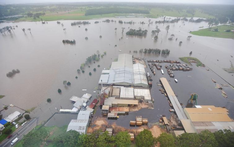
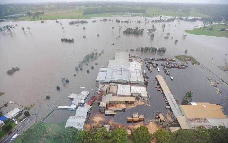
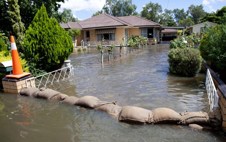
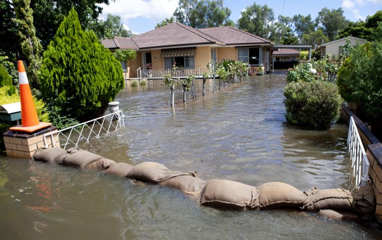
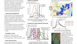
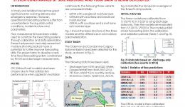
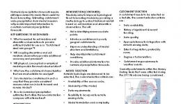
This project investigated the use of remote sensing data to improve modelled flood forecast skill and value. It developed optimal ways to constrain and update hydrologic flood models using remotely sensed soil moisture data. The project also proposed an algorithm for the monitoring of floods under vegetation, and investigated optimal ways to use remote sensing-derived inundation extent and level to implement and calibrate the hydraulic model. The results of this project enable improved predictions of flow depth, extent and velocity in the floodplain.
Supervisory roles
| Project | Student |
|---|---|
| Improving flood forecast skill using remote sensing data (PhD project) | awright |
27 Aug 2019
This project investigates the use of remotely sensed soil moisture and inundation extent to improve...
19 Sep 2018
“The outcomes from this research will provide information for us to use remotely sensed data to...
30 Jun 2017
This project aims to use hydrologic models and data assimilation theory to estimate catchment wide...
30 Jun 2017
This project investigates the use of remotely sensed soil moisture data and flood extent/level to...
14 Aug 2016
The use of remote sensing data in operational flood forecasting is currently receiving increasing...
14 Aug 2016
This research introduces model input data reduction using the discrete wavelet transform to the...
18 Aug 2015
Accurate, timely and precise forecast precipitation is the "Holy Grail" of flood forecasting; this...
18 Aug 2015
Accurate flood forecast is essential to save lives and reduce damages.How far can we get using...
18 Aug 2015
Flood forecasts suffer from various SOURCES of uncertainties. This project investigates the benefit...
25 Aug 2014
Accurate, timely and precise Forecast precipitation is the “holy grail” of flood forecasting; this...


