PUBLICATIONS
Published works

Improving flood forecast using remote sensing data - annual report 2018-2019
| Title | Improving flood forecast using remote sensing data - annual report 2018-2019 |
| Publication Type | Report |
| Year of Publication | 2019 |
| Authors | Pauwels, V, Walker, J, Grimaldi, S, Wright, A, Li, Y |
| Document Number | 497 |
| Date Published | 07/2019 |
| Institution | Bushfire and Natural Hazards CRC |
| City | Melbourne |
| Keywords | Flood, flood forecast, improving forecast, remote sensing data |
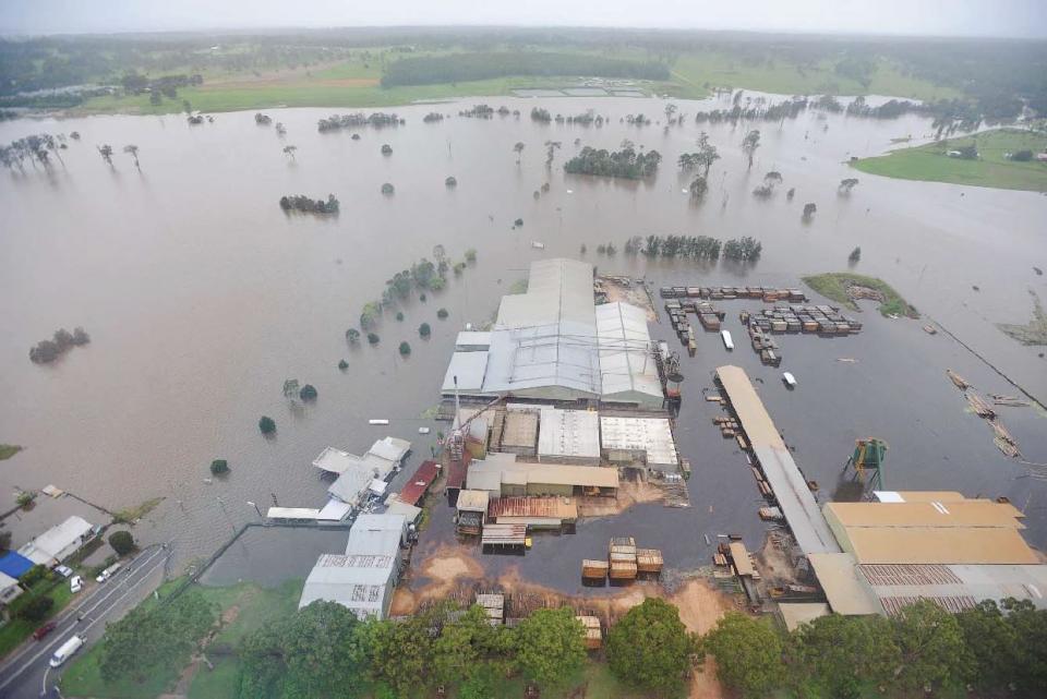
| Abstract | Floods are among the most damaging natural disasters in Australia. Over the last 40 years, the average annual cost of floods was estimated to be $377 million per year. The 2010-2011 floods in Brisbane and South-East Queensland alone resulted in 35 confirmed deaths and $2.38 billion damage. The floods in June 2016 in Queenslad, New South Wales, and Tasmania, resulted in five confirmed casualties. The Insurance Council of Australia stated on June 7, 2016 that about 14,500 claims totaling $56 million have been lodged from across the country. The floods in March-April 2017 in Queensland and New South Wales caused five confirmed casualties. Furthermore, according to the Insurance Council of Australia, 823,560 Queensland homes are still unprepared for flooding (March 11, 2018). The floods in North Queensland in January-February 2019 resulted in four confirmed fatalities and an estimated total direct cost of 1.3 billion dollars. In order to limit the personal and economic damage caused by floods, operational water and emergency managers heavily rely on flood forecasting systems. Further improvements to current flood forecasting systems are likely to reduce the personal and economic damage caused by floods. |
Published Works


