Research leader

A/Prof Valentijn Pauwels Research Leader

Research team

Jeffrey Walker
Prof Jeffrey Walker Research Team
Dr Stefania Grimaldi
Dr Stefania Grimaldi Research Team
Dr Ashley Wright Research Team

End User representatives

Chris Leahy End-User
Norman Mueller End-User
Fang Yuan End-User
Elliott Simmons
Elliott Simmons End-User

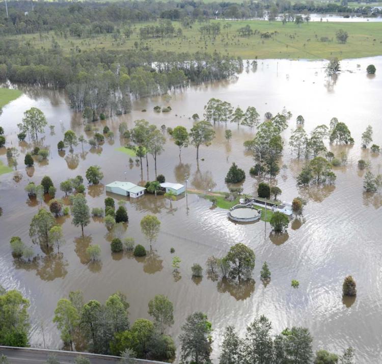
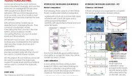
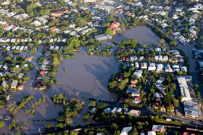
Floods are among the most damaging natural disasters in Australia. Over the last 40 years, the average annual cost of floods was estimated to be $377 million per year. The 2010-2011 floods in Brisbane and South-East Queensland alone resulted in 35 confirmed deaths and $2.38 billion damage. The floods in June 2016 in Queensland, New South Wales, and Tasmania, resulted in five confirmed casualties. The floods in North Queensland in January-February 2019 resulted in four confirmed fatalities and an estimated total direct cost of 1.3 billion dollars. In order to limit the personal and economic damage caused by floods, operational water and emergency managers rely on flood forecasting systems.

These systems consist of a hydrologic and a hydraulic model to predict the extent and level of floods. Using observed and predicted rainfall, the hydrologic model calculates the amount of water that is flowing through the river network, while the hydraulic model computes water depth and velocity in the river and in the floodplain. In recent decades, the accuracy and reliability of these flood forecasting systems has significantly improved. However, it remains difficult to provide accurate and precise flood warnings. This is a result of errors and/or uncertainties in model structures, model parameters, input data, and/or meteorological forcing (mainly rainfall). The hypothesis of this project is that remote sensing data can be used to improve modelled flood forecast skill and value.

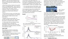
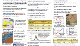
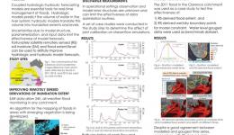
More specifically, this project developed optimal ways to constrain and update the hydrologic model using remotely sensed soil moisture data. The significance of soil moisture is its direct impact on the partitioning of rainfall into surface runoff and infiltration. Second, this project proposed an algorithm for the monitoring of floods under vegetation. Finally, the research team investigated optimal ways to use remote sensing-derived inundation extent and level to implement and calibrate the hydraulic model. The results of this project enable improved predictions of flow depth, extent and velocity in the floodplain.

Read the final report here.

Year Type Citation
2020 Journal Article Grimaldi, S., Xu, J., Li, Y. & Walker, J. Flood mapping under vegetation using single SAR acquisitions. Remote Sensing of Environment 237, (2020).
2020 Report Pauwels, V., Walker, J., Grimaldi, S., Wright, A. & Li, Y. Improving flood forecast skill using remote sensing data – final project report. (Bushfire and Natural Hazards CRC, 2020).
2020 Report Pauwels, V., Walker, J., Grimaldi, S., Wright, A. & Li, Y. Guidelines on the optimal use of remote sensing data to improve the accuracy of hydrologic and hydraulic models. (Bushfire and Natural Hazards CRC, 2020).
2019 Conference Paper Wright, A., Grimaldi, S., Li, Y., Walker, J. & Pauwels, V. Improving flood forecasting skill using remotely sensed data. Bushfire and Natural Hazards CRC Research Day AFAC19 (2019). at <https://knowledge.aidr.org.au/resources/australian-journal-of-emergency-management-monograph-series/>
2019 Journal Article Grimaldi, S., Schumann, G., Shokri, A., Walker, J. & Pauwels, V. Challenges, Opportunities, and Pitfalls for Global Coupled Hydrologic‐Hydraulic Modeling of Floods. Water Resources Research 55, (2019).
2019 Journal Article Hilton, J. et al. River reconstruction using a conformal mapping method. Environmental Modelling & Software 119, 197-213 (2019).
2019 Report Pauwels, V., Walker, J., Grimaldi, S., Wright, A. & Li, Y. Improving flood forecast using remote sensing data - annual report 2018-2019. (Bushfire and Natural Hazards CRC, 2019).
2018 Conference Paper Wang, A. et al. Evaluation of TanDEM-X and DEM-H digital elevation models over the Condamine-Balonne catchment. Hydrology and Water Resources Symposium (HWRS 2018): Water and Communities (Monash University , 2018). at <https://search.informit.com.au/documentSummary;dn=134740719984631;res=IELENG>
2018 Journal Article Liu, S., Li, Y., Pauwels, V. & Walker, J. Impact of rain gauge quality control and interpolation on streamflow simulation: an application to the Warwick Catchment, Australia. Frontiers in Earth Science (2018). doi:https://doi.org/10.3389/feart.2017.00114
2018 Journal Article Wright, A., Walker, J. & Pauwels, V. Identification of hydrologic models, optimized parameteres, and rainfall inputs consistent with in situ streamflow and rainfall and remotely sensed soil moisture. Journal of Hydrometeorology 19, (2018).
2018 Journal Article Li, Y., Grimaldi, S., Pauwels, R. N. & Walker, J. Hydrologic model calibration using remotely sensed soil moisture and discharge measurements: The impact on predictions at gauged and ungauged locations. Journal of Hydrology 557, (2018).
2018 Journal Article Grimaldi, S., Li, Y., Walker, J. & Pauwels, V. Effective Representation of River Geometry in Hydraulic Flood Forecast Models. Water Resources Research 54, (2018).
2017 Conference Paper Rumsewicz, M. Research proceedings from the 2017 Bushfire and Natural Hazards CRC and AFAC Conference. Bushfire and Natural Hazards CRC & AFAC annual conference 2017 (Bushfire and Natural Hazards CRC, 2017).
2017 Conference Paper Li, Y., Grimaldi, S., Wright, A., Walker, J. & Pauwels, V. Improving flood forecast skill using remote sensing data. AFAC17 (Bushfire and Natural Hazards CRC, 2017).
2017 Journal Article Wright, A., Walker, J. & Pauwels, V. A comparison of the discrete cosine and wavelet transforms for hydrologic model input data reduction. Hydrology and Earth System Sciences (2017). doi:10.5194/hess-21-3827-2017
2017 Journal Article Wright, A., Walker, J. & Pauwels, V. Estimating rainfall time series and model parameter distributions using model data reduction and inversion techniques. AGU (2017). at <https://agupubs.onlinelibrary.wiley.com/doi/abs/10.1002/2017WR020442>
2017 Report Pauwels, V., Walker, J., Li, Y., Grimaldi, S. & Wright, A. Improving flood forecast skill using remote sensing data: annual report 2016-17. (Bushfire and Natural Hazards CRC, 2017).
2016 Conference Paper Li, Y., Grimaldi, S., Wright, A., Walker, J. & Pauwels, V. Improving flood forecast skill using remote sensing data. AFAC16 (Bushfire and Natural Hazards CRC, 2016).
2016 Journal Article Grimaldi, S., Li, Y., Pauwels, V. & Walker, J. Remote Sensing-Derived Water Extent and Level to Constrain Hydraulic Flood Forecasting Models: Opportunities and Challenges. Surveys in Geophysics 37, (2016).
2016 Journal Article Li, Y., Grimaldi, S., Walker, J. & Pauwels, V. Application of Remote Sensing Data to Constrain Operational Rainfall-Driven Flood Forecasting: A Review. Remote Sensing 8, (2016).
2016 Magazine Article Jones, F. Remote-sensing flood data is filling the gaps. The Australian Journal of Emergency Management 31, (2016).
2016 Report Pauwels, V., Walker, J., Li, Y., Grimaldi, S. & Wright, A. Improving flood forecast skill using remote sensing: Annual project report 2015-2016. (Bushfire and Natural Hazards CRC, 2016).
2015 Conference Paper Li, Y., Grimaldi, S., Pauwels, V., Walker, J. & Wright, A. Combining hydrologic and hydraulic models for real time flood forecasting - non peer reviewed extended abstract. Adelaide Conference 2015 (2015).
2015 Report Pauwels, V. Improving Flood Forecast Skill Using Remote Sensing Data Annual Report 2014. (2015).
2015 Report Pauwels, V., Walker, J., Li, Y., Grimaldi, S. & Wright, A. Improving flood forecast skill using remote sensing data: Annual project report 2014-2015. (Bushfire and Natural Hazards CRC, 2015).
Improving flood forecasting skill using remote sensing data
25 Aug 2014
Accurate, timely and precise Forecast precipitation is the “holy grail” of flood forecasting; this project...
Improving flood forecasting skills using remote sensing data: precipitation retrieval
18 Aug 2015
Accurate, timely and precise forecast precipitation is the "Holy Grail" of flood forecasting; this project...
Improving Flood Forecast Skill Using Remote Sensing Data - Hydraulic Component
18 Aug 2015
Accurate flood forecast is essential to save lives and reduce damages.How far can we get using remote sensing...
Improving Flood Forecasting Skill Using Remote Sensing Data - Hydrological Component
18 Aug 2015
Flood forecasts suffer from various SOURCES of uncertainties. This project investigates the benefit of using...
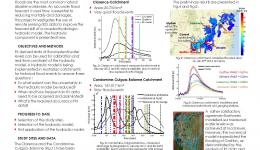
Stefania Grimaldi Conference Poster 2016
14 Aug 2016
The use of remote sensing data in operational flood forecasting is currently receiving increasing attention.
Improving flood forecasting skill using remote sensing data: rainfall estimation
30 Jun 2017
This project aims to use hydrologic models and data assimilation theory to estimate catchment wide rainfall.
Improving flood forecast skill using remote sensing data: model/remote sensing data fusion
30 Jun 2017
This project investigates the use of remotely sensed soil moisture data and flood extent/level to improve...
Improving flood forecast skill using Remote Sensing data
19 Sep 2018
“The outcomes from this research will provide information for us to use remotely sensed data to improve our...
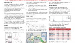
AFAC19 poster
27 Aug 2019
This project investigates the use of remotely sensed soil moisture and inundation extent to improve the...
31 Aug 2020
Key findings: Remotely sensed data can improve flood forecasting capability in poorly gauged catchments