PUBLICATIONS
Published works

Flood mapping under vegetation using single SAR acquisitions
| Title | Flood mapping under vegetation using single SAR acquisitions |
| Publication Type | Journal Article |
| Year of Publication | 2020 |
| Authors | Grimaldi, S, Xu, J, Li, Y, Walker, J |
| Journal | Remote Sensing of Environment |
| Volume | 237 |
| Date Published | 02/2020 |
| Keywords | Flooded vegetation, Fuzzy logic, Inundation extent, SAR |
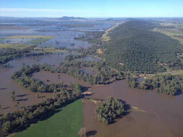
| Abstract | Synthetic Aperture Radar (SAR) enables 24-hour, all-weather flood monitoring. However, accurate detection of inundated areas can be hindered by the extremely complicated electromagnetic interaction phenomena between microwave pulses, and horizontal and vertical targets. This manuscript focuses on the problem of inundation mapping in areas with emerging vegetation, where spatial and seasonal heterogeneity makes the systematic distinction between dry and flooded backscatter response even more difficult. In this context, image interpretation algorithms have mostly used detailed field data and reference image(s) to implement electromagnetic models or change detection techniques. However, field data are rare, and despite the increasing availability of SAR acquisitions, adequate reference image(s) might not be readily available, especially for fine resolution acquisitions. To by-pass this problem, this study presents an algorithm for automatic flood mapping in areas with emerging vegetation when only single SAR acquisitions and common ancillary data are available. First, probability binning is used for statistical analysis of the backscatter response of wet and dry vegetation for different land cover types. This analysis is then complemented with information on land use, morphology and context within a fuzzy logic approach. The algorithm was applied to three fine resolution images (one ALOS-PALSAR and two COSMO-SkyMed) acquired during the January 2011 flood in the Condamine-Balonne catchment (Australia). Flood extent layers derived from optical images were used as validation data, demonstrating that the proposed algorithm had an overall accuracy higher than 80% for all case studies. Notwithstanding the difficulty to fully discriminate between dry and flooded vegetation backscatter heterogeneity using a single SAR image, this paper provides an automatic, data parsimonious algorithm for the detection of floods under vegetation. |
| URL | https://www.sciencedirect.com/science/article/pii/S0034425719306029?dgcid=author |
| DOI | 10.1016/j.rse.2019.111582 |
| Refereed Designation | Refereed |
Published Works


