Research leader
Research team
End User representatives
The fundamental processes that cause erosion during storms are generally well understood and management strategies are available. However, the response of beaches to successive storms (storm clusters), such as those that damaged Australia’s east coast in 1974, is not well understood or managed, with the response of any given beach depending on its physical characteristics. Because of this, the likely effectiveness of a given management strategy may not be clear, such as beach nourishment (a remedial process where sand is added to a beach to restore its shape). This project developed a methodology and demonstrated it through two case study sites, which had different oceanographic and geological settings. The methodology combined expertise in statistical modelling, hydrodynamics, coastal geology, hazard mapping and impact analysis. The project, now concluded, integrated these approaches to develop tools, information and methods that can be used by others nationally.
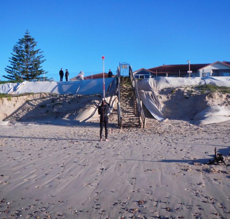
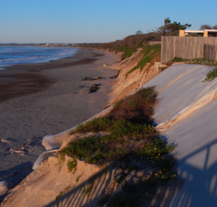
In consultation with end-users, two case studies were selected: Old Bar on the New South Wales mid north coast (between Newcastle and Port Macquarie) and the Adelaide metropolitan beaches. These beaches were identified as key localities where erosion is an ongoing issue and where field studies and modelling would provide new insights into the problem.
Findings shows that for Old Bar, erosion and property loss are centred on a section of coast where sand cover is limited by shallow bedrock and offshore reefs. This means that the potential for natural beach recovery is hindered by a finite local sand supply, and modelling indicates that further shoreline retreat is possible. Other parts of the beach are more stable due to larger sand reserves onshore and offshore, as evidenced by sand dunes up to 200 metres wide. These findings support previous observations and are consistent with independent hydrodynamic modelling for Old Bar that shows erosion associated with a near-shore circulation cell under storm conditions.
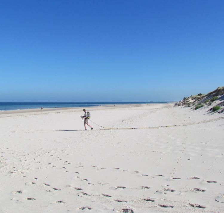
For the Adelaide metropolitan beaches, erosion is managed effectively through an established beach-nourishment program. This project demonstrated that nourishment strategies could be fine-tuned and made more cost-effective by mapping beach thickness using ground-penetrating radar.
As part of the project’s utilisation plan, a workshop was held with end-users in April 2017. The workshop focused on two aspects: the software that enables statistical modelling of storm events and the results from shoreline modelling at Old Bar. Feedback from end-users was centred on the value of improving on-the-ground knowledge regarding the processes driving coastal erosion at case study sites and the potential for end-users to make use of data and software modelling tools. While the modelling to date has focused on Old Bar in New South Wales, the South Australian end-users wish to compare the current beach management strategies with the modelling results and make changes if required. South Australian coastal managers are also planning similar studies for other beaches using the methodology showcased in this project. In New South Wales, the project results will be part of a broader conversation about how to manage the coastal erosion hotspot of Old Bar. For instance, the sub-surface investigations using ground‑penetrating radar are being used by the New South Wales Office of Environment and Heritage to re-assess hazard lines as it develops a coastal management plan for the area. For all end-users, seeing the data, methods and tools being published and made open source is a positive step towards enabling others to apply this method at other locations.

