Research leader
Research team
End User representatives
Student researchers
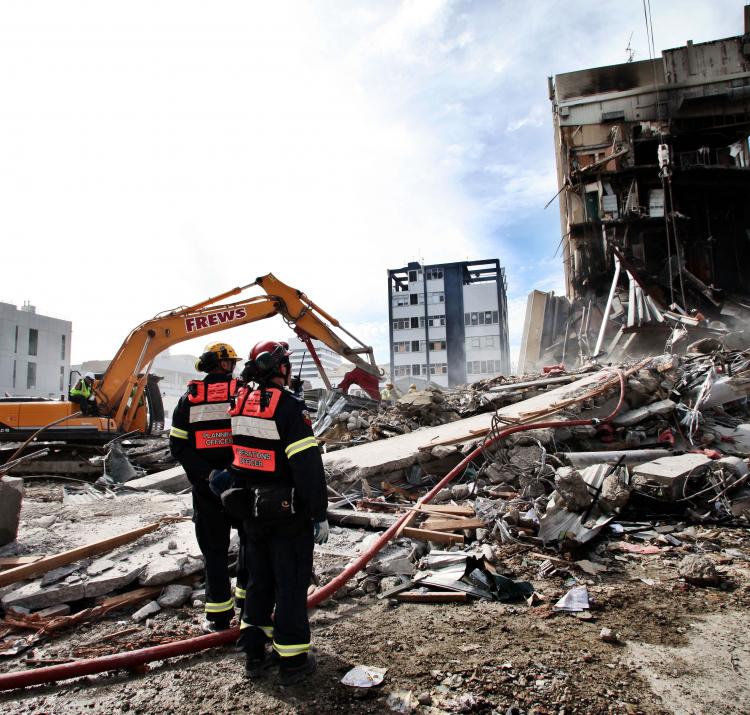
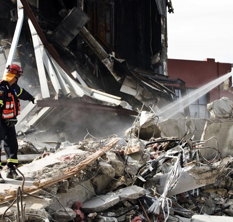
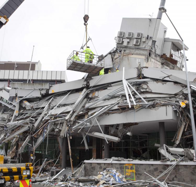
Realistic disaster scenarios help emergency managers better understand disasters. They allow for visualisation of potential impacts before disasters happen, and enable proactive planning for these events. This project developed realistic disaster scenarios using catastrophic loss models so that vulnerable areas, utilities and assets within our major cities can be identified.
The scenarios explored were a 6.0 magnitude earthquake under the Adelaide CBD, a number of different earthquakes under the Melbourne CBD and a category 4 cyclone in south east Queensland. While an earthquake of 6.0 magnitude may be considered unlikely by many, a 5.6 magnitude earthquake occurred in Adelaide in 1954. Fortunately, its epicentre was far from populated areas, however today this area is densely populated. The scenario modelling considered the impacts if the earthquake occurred at 2am and 2pm, as these times were expected to result in the highest casualties. It is predicted that an earthquake like this would result in a large number of homes being destroyed or unsuitable for occupation. For both time periods, casualties could be more than 300, with over 100 life-threatening injuries expected. Basic medical aid that could not be self-treated is estimated to be required for approximately 5,000 people.
For the Melbourne earthquake scenario, three different magnitudes were examined (5.5, 6.0 and 7.0). These are all considerably larger than earthquakes that have occurred in Melbourne, and do not lie on any known faults that are considered active. As with the Adelaide scenario, impacts were modelled based on a 2am and 2pm occurrence. Under all scenarios examined, damaged caused by shaking and liquefaction would render parts of Melbourne inaccessible for large extents of time and cause long term infrastructure damage. Immediate casualties would range from under 200 for a 5.5 magnitude occurring at 2am, to more than 8,500 for a 7.0 magnitude occurring at 2pm. Those with life threatening injuries would range from less than 100 to more than 4,500. Under the most severe scenario, basic medical aid that could not be self-treated is estimated to be required for approximately 100,000 people.
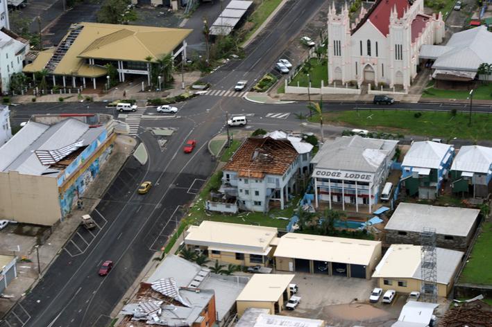
The south east Queensland cyclone scenario was modelled on the track taken by Severe Tropical Cyclone Dinah in 1967. In the modelled scenario, the cyclone remained offshore, but made its closest passage to the mainland near Harvey Bay, and then moved offshore as it moved south, but staying close to the coast until south of the New South Wales border. Approximately 50,000 buildings were simulated to experience moderate structural damage, which may lead to occupants needing to seek emergency shelter. A further 8,000 would suffer major structural damage, and in many instances will need to be completely rebuilt. Older homes would bear the brunt of this damage (70-90%) as they were constructed prior to any stringent wind resistant design requirements. As a result of the damage, 50,000 people would need alternate accommodation. The cost of the damages would run into the tens of billions of dollars.
Modelling plausible scenarios such as these quantifies the impacts on society, critical infrastructure, lifelines and buildings, along with the natural environment. This allows emergency managers to understand the implications for their agencies so they can better prepare for, or mitigate the impacts of, events that are beyond their experience.

