Research leader

Dr Imtiaz Dharssi Research Leader
Paul Fox-Hughes
Paul Fox-Hughes Research Leader

Research team

Claire Yeo
Claire Yeo Research Team
Dr Vinod Kumar Research Team
Jeff Kepert
Dr Jeff Kepert Research Team
Jeffrey Walker
Prof Jeffrey Walker Research Team
Ian Grant
Dr Ian Grant Research Team
Adam Smith Research Team
Peter Steinle Research Team

End User representatives

John Bally End-User
Paul Fox-Hughes
Paul Fox-Hughes End-User
Rob Sandford
Rob Sandford End-User
David Taylor End-User
Mark Chladil
Mark Chladil End-User
Matt Chesnais End-User
Jackson Parker End-User

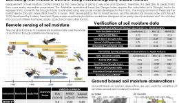
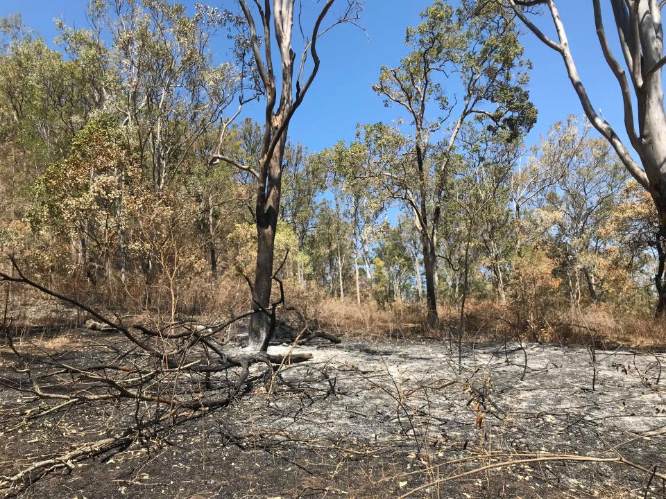
This project examined the use of detailed land surface models, satellite measurements and ground-based observations for the monitoring and prediction of landscape dryness. This project addresses a fundamental limitation in our ability to prepare for fires, floods and heatwaves and is directly linked to pre-event planning as well as forecasting of events. The research conducted in the present project solely focuses on the application of soil and land dryness/moisture in the context of fire danger and fire management practices. The lack of focus on flood and heatwave is circumstantial. The research priorities were set and driven by the requirements of the project end-users, all of them from various fire management agencies across Australia.

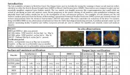
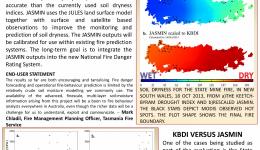
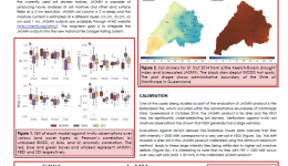
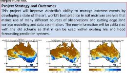
This research has developed a prototype, high-resolution soil-moisture analysis system called JASMIN, which is a significant improvement in accuracy compared to currently used models. It is based on research that examines the use of land surface models, remotely sensed satellite measurements and data assimilation techniques to improve the monitoring and prediction of soil dryness. The new information will be calibrated for use within the existing fire prediction systems. This retains the accuracy, temporal and spatial resolution of the new product without changing the overall climatology of Forest Fire Danger Index and other calculations based on soil moisture.

Read the final report here.
Year Type Citation
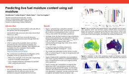
2021 Journal Article Kumar, V., Dharssi, I., Yebra, M. & Fox-Hughes, P. Continental-scale prediction of live fuel moisture content using soil moisture information. Agricultural and Forest Meteorology 307, (2021).
2021 Report Kumar, V., Dharssi, I. & Fox-Hughes, P. Mitigating the effects of severe fire, floods and heatwaves through the improvements of land dryness measures and forecasts - final project report. (Bushfire and Natural Hazards CRC, 2021).
2020 Report Kumar, V., Dharssi, I., Yebra, M. & Fox-Hughes, P. Exploring the soil moisture-live fuel moisture relationship. (Bushfire and Natural Hazards CRC, 2020).
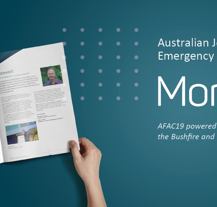
2019 Conference Paper Kumar, V., Dharssi, I. & Fox-Hughes, P. JASMIN: a high-resolution soil moisture analysis system for fire prediction. AFAC19 powered by INTERSCHUTZ - Bushfire and Natural Hazards CRC Research Forum (Australian Institute for Disaster Resilience, 2019). at <https://knowledge.aidr.org.au/resources/australian-journal-of-emergency-management-monograph-series/>
2019 Conference Paper Fox-Hughes, P. et al. Fire weather and prototype fire danger ratings for the Gell River fire, Tasmania. Bushfire and Natural Hazards CRC Research Day AFAC19 (2019). at <https://knowledge.aidr.org.au/resources/australian-journal-of-emergency-management-monograph-series/>
2019 Journal Article Kumar, V. & Dharssi, I. Evaluation and calibration of a high-resolution soil moisture product for wildfire prediction and management. Agricultural and Forest Meteorology 264, 12 (2019).
2019 Report Kumar, V., Dharssi, I. & Fox-Hughes, P. Disaggregation of JASMIN soil moisture product to 1KM resolution. (Bushfire and Natural Hazards CRC, 2019).
2019 Report Kumar, V., Fox-Hughes, P. & Dharssi, I. Mitigating the effects of severe fires, floods and heatwaves through the improvements of land dryness measures and forecasts - annual report 2018-2019. (Bushfire and Natural Hazards CRC, 2019).
2019 Report Kumar, V. & Dharssi, I. Use of remote sensing measurements and data assimilation techniques to improve estimates of landscape dryness. (Bushfire and Natural Hazards CRC, 2019).
2017 Journal Article Kumar, V. et al. Comparison of soil wetness from multiple models over Australia with observations. Water Resources Research 53, 633-646 (2017).
2017 Report Kumar, V. & Dharssi, I. Downscaling of soil dryness estimates: a short review. (Bushfire and Natural Hazards CRC, 2017).
2017 Report Kumar, V. & Dharssi, I. Evaluation of daily soil moisture deficit used in Australian forest fire danger rating system. (Bushfire and Natural Hazards CRC, 2017).
2017 Report Kumar, V., Dharssi, I. & Holmes, A. Mitigating the effects of severe fires, floods and heatwaves through the improvements of land dryness measures and forecasts: annual project report 2016-17. (Bushfire and Natural Hazards CRC, 2017).
2017 Report Dharssi, I. & Kumar, V. JASMIN: A prototype high resolution soil moisture analysis system for Australia. (Bureau of Meterology, 2017). at <http://www.bom.gov.au/research/publications/researchreports/BRR-026.pdf>
2016 Conference Paper Rumsewicz, M. Research proceedings from the 2016 Bushfire and Natural Hazards CRC and AFAC conference. Bushfire and Natural Hazards CRC & AFAC annual conference 2016 (Bushfire and Natural Hazards CRC, 2016).
2016 Conference Paper Dharssi, I. & Kumar, V. A high-resolution land dryness analysis system for Australia. AFAC16 (Bushfire and Natural Hazards CRC, 2016).
2016 Journal Article Holgate, C. M. et al. Comparison of remotely sensed and modelled soil moisture data sets across Australia. Remote Sensing of Environment 186, (2016).
2016 Report Dharssi, I. & Kumar, V. Mitigating the effects of severe fires, floods and heatwaves through the improvements of land dryness measures and forecasts: Annual project report 2015-2016. (Bushfire and Natural Hazards CRC, 2016).
2015 Conference Paper Rumsewicz, M. Research proceedings from the 2015 Bushfire and Natural Hazards CRC & AFAC conference. Bushfire and Natural Hazards CRC & AFAC annual conference 2015 (Bushfire and Natural Hazards CRC, 2015).
2015 Conference Paper Dharssi, I., Kumar, V., Yeo, C., Bally, J. & Kepert, J. Mitigating the Effects of Severe Fires, Floods and Heatwaves Conference Paper 2014. Bushfire and Natural Hazards CRC and AFAC Wellington Conference 2014 (2015).
2015 Presentation Dharssi, I. & Kumar, V. Mitigating the effects of severe fires, floods and heatwaves through the improvements of land dryness measures and forecasts. (2015).
2015 Report Dharssi, I. Mitigating the Effects of Severe Fires, Floods and Heatwaves Annual Report 2014. (2015).
2015 Report Kumar, V. & Dharssi, I. Sources of soil dryness measures and forecasts for fire danger rating . (Bureau of Meteorology , 2015). at <http://www.bom.gov.au/research/publications/researchreports/BRR-009.pdf>
2015 Report Dharssi, I. & Kumar, V. Mitigating the effects of severe fires, floods and heatwaves through improvements to land dryness measures and forecasts: Annual project report 2014-2015. (Bushfire and Natural Hazards CRC, 2015).
Date Title Download Key Topics
21 Mar 2014 Monitoring and prediction PDF icon 7.35 MB (7.35 MB) flood, modelling, multi-hazard
07 Aug 2014 Fire Weather Research and Development PDF icon 3.3 MB (3.3 MB) fire weather, governance
08 Sep 2014 Mitigating the effects of severe fires, floods and heatwaves PDF icon 1.7 MB (1.7 MB) fire, flood, forecasting
27 Oct 2014 Mitigating the effects of severe fires, floods and heatwaves fire, flood, forecasting
27 Oct 2014 Modelling the fire weather of the Coonabarabran fire 13 January fire, flood, mitigation
04 Dec 2014 Mitigating the effects of severe hazards PDF icon 1.62 MB (1.62 MB) fire, flood, remote sensing
05 Dec 2014 Mitigating the effects of severe hazards PDF icon 1.99 MB (1.99 MB) forecasting, modelling, soil moisture
26 Jun 2015 Verification of Soil Moisture from Multiple Models for Bushfire Danger Rating Applications PDF icon 4.32 MB (4.32 MB) fire, flood, remote sensing
11 Sep 2015 Verification of soil moisture from multiple sources for bushfire danger rating applications PDF icon 3.33 MB (3.33 MB) fire impacts, soil moisture
03 Apr 2016 Monitoring and prediction - cluster overview File 0 bytes (0 bytes) forecasting, multi-hazard, scenario analysis
30 Aug 2016 A high resolution land dryness analysis system for Australia - Imtiaz Dharssi PDF icon 3.93 MB (3.93 MB) fire weather, flood, severe weather
24 Oct 2016 Mitigating the effects of sever fires, floods and heatwaves through improvement to land dryness measures and forecasts PDF icon 3.12 MB (3.12 MB) fire, flood, forecasting
28 Nov 2016 Monitoring and predicting natural hazards PDF icon 853.18 KB (853.18 KB) forecasting, modelling, severe weather
18 May 2017 Towards an improved land dryness estimate for fire prediction PDF icon 5.71 MB (5.71 MB) fire, flood, remote sensing
14 Jun 2017 Soil moisture prototype improves forecasts PDF icon 186.47 KB (186.47 KB) forecasting, land management, soil moisture
07 Jul 2017 Building bushfire predictive services capability PDF icon 9.97 MB (9.97 MB) fire, fire weather, modelling
31 Oct 2017 Mitigating the effect of severe fires, floods and heatwaves through improvements to land dryness measures and forecasts PDF icon 1.38 MB (1.38 MB) forecasting, land management, mitigation
19 Sep 2018 Evaluation and calibration of a land surface model based soil moisture analysis for fire prediction PDF icon 3.08 MB (3.08 MB) soil moisture
23 Nov 2018 Mitigating the effects of severe fires floods and heatwaves PDF icon 2.29 MB (2.29 MB) forecasting, severe weather
30 Jul 2019 Mitigating the effects of severe fires, floods and heatwaves through the improvements of land dryness measures and forecasts. PDF icon 972.35 KB (972.35 KB) forecasting, mitigation, soil moisture
27 Aug 2019 JASMIN: A high-resolution soil moisture analysis for fire prediction PDF icon 2.15 MB (2.15 MB) fire, flood
27 Aug 2019 Fire weather and prototype fire danger ratings for the Gell River fire, Tasmania PDF icon 4.64 MB (4.64 MB) fire, fire weather
17 Oct 2019 Mitigating the effects of severe fires, floods and heatwaves through the improvements of land dryness measures and forecasts PDF icon 1.41 MB (1.41 MB) forecasting, land management
29 Jul 2020 A preliminary examination of soil moisture-live fuel moisture relationship by Vinod Kumar File 0 bytes (0 bytes) forecasting, land management, savanna grasslands
25 Nov 2020 Satellites to help show when the bush is ready to burn fire, remote sensing, vulnerability
16 Dec 2020 AFAC Webinar 'Where are we going with soil moisture' 2020 File 0 bytes (0 bytes) fire, fire severity, land management
Mitigating the effects of severe fires, floods and heatwaves through the improvements of land dryness measures and forecasts
25 Aug 2014
This project will improve Australia’s ability to manage extreme events by developing a state of the art,...
Sources of Soil Dryness Measures and Forecasts
18 Aug 2015
Emerging new approaches to evaluate landscape dryness through the use of satellite remote sensing data, land...
Vinod Kumar Conference Poster 2016
14 Aug 2016
Soil dryness is a key component in operational fire danger rating systems.
Improved measures and forecasts of soil dryness
29 Jun 2017
New approaches are available to calculate soil dryness more accurately through the use of satellite remote...
A new soil dryness product for fire prediction applications
19 Sep 2018
The present study discuss the development and evaluation of a new soil dryness product based on an advanced ...
31 Aug 2020
Key findings: The study explores the live fuel moisture – soil moisture relationship at a national scale and...