Research leader
Research team
End User representatives
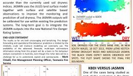
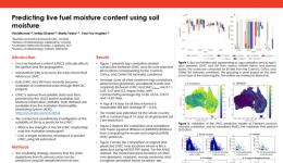
This project examined the use of detailed land surface models, satellite measurements and ground-based observations for the monitoring and prediction of landscape dryness. This project addresses a fundamental limitation in our ability to prepare for fires, floods and heatwaves and is directly linked to pre-event planning as well as forecasting of events. The research conducted in the present project solely focuses on the application of soil and land dryness/moisture in the context of fire danger and fire management practices. The lack of focus on flood and heatwave is circumstantial. The research priorities were set and driven by the requirements of the project end-users, all of them from various fire management agencies across Australia.
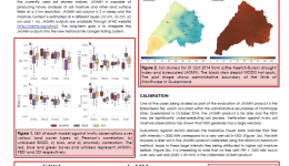
This research has developed a prototype, high-resolution soil-moisture analysis system called JASMIN, which is a significant improvement in accuracy compared to currently used models. It is based on research that examines the use of land surface models, remotely sensed satellite measurements and data assimilation techniques to improve the monitoring and prediction of soil dryness. The new information will be calibrated for use within the existing fire prediction systems. This retains the accuracy, temporal and spatial resolution of the new product without changing the overall climatology of Forest Fire Danger Index and other calculations based on soil moisture.

